National Geographic Maps - Trails Illust
description
- Waterproof - Tear-Resistant - Topographic Map
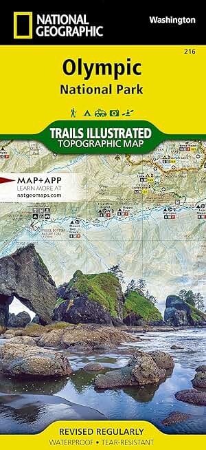
Olympic National Park encompasses four distinctly different ecosystems in its nearly one million acres. National Geographic's Trails Illustrated map of Olympic National Park offers outdoors enthusiasts a valuable tool for exploring the park's old-growth forests, glaciers, untamed rivers, and rugged coastline. Expertly researched and created in partnership with local land management agencies, this map features key areas of interest including Mount Olympus, Ozette Lake, Olympic National Forest, Lake Quinalt, Mount Skokomish Wilderness, Hurricane Ridge, Lake Crescent, and more.
With miles of mapped trails including a portion of the Pacific Northwest Trail, this map can guide you off the beaten path and back again in some of the most breathtaking scenery in the region. Designed with a wide range of visitors in mind, this map features detailed and easy to read trails, accurate road network, points of interest, lodging, waterfalls, fishing and boat access, and ranger stations. The map base includes contour lines and elevations for summits, passes and many lakes. A variety of helpful information about regulations, safety tips, and a list of wilderness campsites are included as well.
Every Trails Illustrated map is printed on "Backcountry Tough" waterproof, tear-resistant paper. A full UTM grid is printed on the map to aid with GPS navigation.
Other features found on this map include: Blue Mountain, Buckhorn Wilderness, Clearwater River, Colonel Bob Wilderness, Elwha River, Hoh River, Lake Crescent, Lake Quinault, Mount Anderson, Mount Carrie, Mount Constance, Mount Deception, Mount Olympus, Mount Pleasant, Mount Skokomish, Mount Skokomish Wilderness, Olympic, Olympic Mountains, Olympic National Forest, Ozette Lake, Port Angeles, Queets River, Sol Duc River, Sooes Peak, Teahwhit Head.
- Map Scale = 1:100,000
- Sheet Size = 25.5" x 37.75"
- Folded Size = 4.25" x 9.25"
listens & views


reads