description
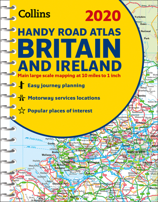
0This easy-to-use, handy A5 sized road atlas with popular lie-flat spiral binding features extremely clear route planning maps of Britain and Ireland and fits neatly into your glove compartment, briefcase or bag. The atlas has been fully updated for 2020. The maps of Britain are at 9.9 miles to 1 inch (1:625,000) and the whole of Ireland is covered at 15.8 miles to 1 inch (1:1,000,000). There are also a selection of more detailed urban area maps at 4.5 miles to 1 inch (1:285,000) to aid route planning in these busy areas. Includes road maps that focus on the main roads, motorways and settlements; more detailed maps of London, Manchester, Merseyside and West Midlands; Park & Ride locations (for bus and rail); and handy distance calculator chart highlighting distances between the major towns.
member goods
No member items were found under this heading.
notems store


listens & views


TRE DAGER TIL ENDE: BRYLLUPSMUSIKK ...
by TRE DAGER TIL ENDE: BRYLLUPSMUSIKK / VARIOUS
COMPACT DISCout of stock
$19.75

Return Policy
All sales are final
Shipping
No special shipping considerations available.
Shipping fees determined at checkout.