National Geographic Maps - Reference
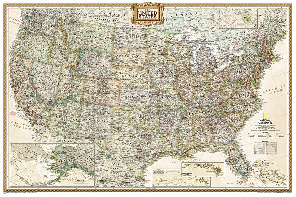
Expertly researched and designed, National Geographic's United States wall map is the standard by which other reference maps of the U.S. are measured.
Product Features:
- Antique-style "executive" color palette
- All 50 states with insets for Hawaiian Islands and Alaska plus inset showing relative size of Alaska
- Clearly defined state and country boundaries, cities, islands, national parks, and physical features
- Thousands of place names carefully and artfully placed to maintain legibility in heavily populated areas
- Background shows mountain ranges and valleys in subtle shaded relief with mountain ranges labeled
- Major water bodies including rivers, lakes, gulfs, bays, straits, and ocean bathymetry
- Transportation routes including interstate highways, major state routes, airports, waterways, canals, and ferries
The 36" x 24" poster size supports easy and affordable framing and mounting, and takes less wall space than standard wall maps.The map is packaged in a two inch diameter tube with a label showing a thumbnail of the map with dimensions and other pertinent information.
- Map Scale = 1:5,410,000
- Sheet Size = 36" x 24"
member goods
notems store

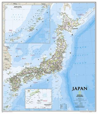
National Geographic: Japan Classic Wall ...
by National Geographic Maps - Reference
Calendar/Blank Book /Not Folded$18.71
listens & views

DALIDA: DEPUIS QU'ELLE EST PARTIE ...
by DALIDA: DEPUIS QU'ELLE EST PARTIE / VARIOUS
COMPACT DISCout of stock
$15.99


CLASSIC CELTIC MUSIC FROM SMITHSONIAN ...
by CLASSIC CELTIC MUSIC FROM SMITHSONIAN / VARIOUS
COMPACT DISC$11.49