National Geographic Maps
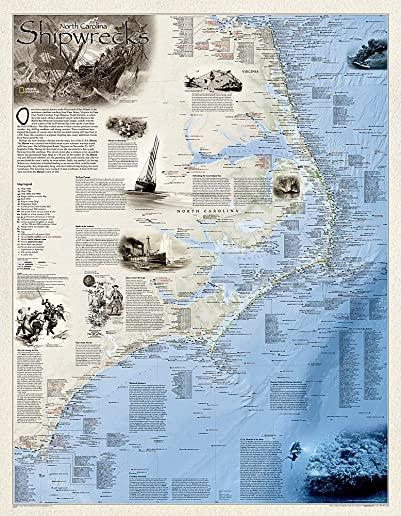
Shipwrecks of the Outer Bank illustrates more than 1,550 shipwrecks of the Atlantic Coast from Cape Henry, Virginia to Cape Fear, North Carolina. Each wreck site is symbolized to define the class, type and name of vessel accompanied by the date of sinking. Icons also indicate whether a ship was lost due to conflict or natural causes.
Locations of lifesaving stations and lighthouses, along with navigational beacons are also marked. Bathymetric and coastal features are clearly labeled. Captions and drawings highlight unique historical events.
The map is encapsulated in heavy-duty 1.6 mil laminate which makes the paper much more durable and resistant to the swelling and shrinking caused by changes in humidity. Laminated maps can be framed without the need for glass, so the fames can be much lighter and less expensive.
- Map Scale = 1:447,500
- Sheet Size = 28" x 36"
member goods
notems store
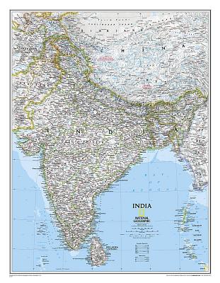
National Geographic: India Classic Wall ...
by National Geographic Maps - Reference
Calendar/Blank Book /Not Folded$18.71

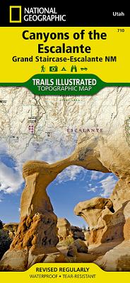
Canyons of the Escalante [grand ...
by National Geographic Maps - Trails Illust
Calendar/Blank Book /Folded$11.21